Activities in the field of remote sensing of the Earth from space
Information and telecommunication technologies, design, development and creation of geographic information systems.Leave a requestWhy choose us?
We create user-friendly and effective GIS tools that help make precise spatial decisions. We work accurately, flexibly and always close to the client at every stage of the project.30 +
implemented projects
150 +
qualified specialists24/7
support serviceServices
Earth remote sensing
An effective tool that enables detailed and prompt study of the environmental conditions, use of natural resources and obtaining a real view of the worldDevelopment of Applied Geographic Information Systems
Decision support for monitoring the status of chemically hazardous facilities, automatic detection of accidental releases, forecasting of possible contamination zonesServices
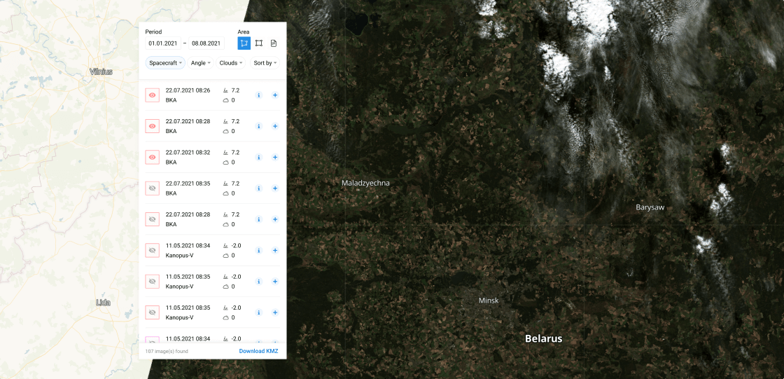
Service for search and ordering of archival EO data from high-resolution satellites
Search of remote sensing data for a selected territory of The Republic of Belarus. Filtering Options, Image Ordering.
24/7 operating
Integration capability
Multilingual interface
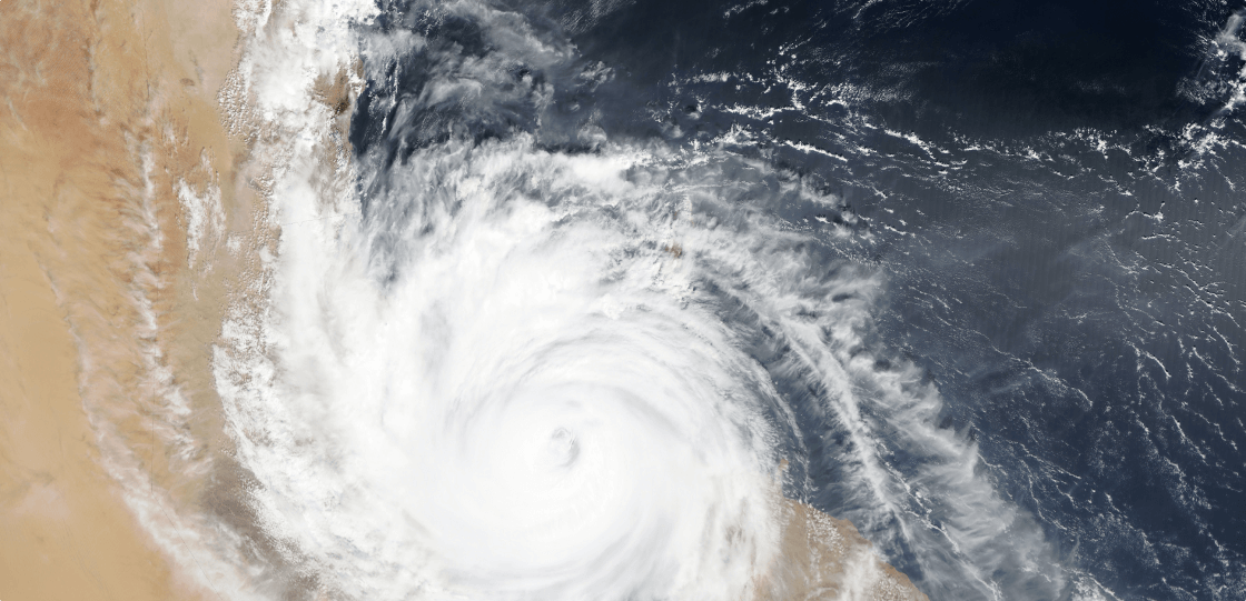
Meteorological satellite data access service
Meteorological satellite images AQUA ∙ SUOMI NPP ∙ Fengyun series ∙ Metop series ∙ NOAA series. 24/7 Data Acquisition. API for software integration.
24/7 Monitoring
Responsiveness
Integration capability
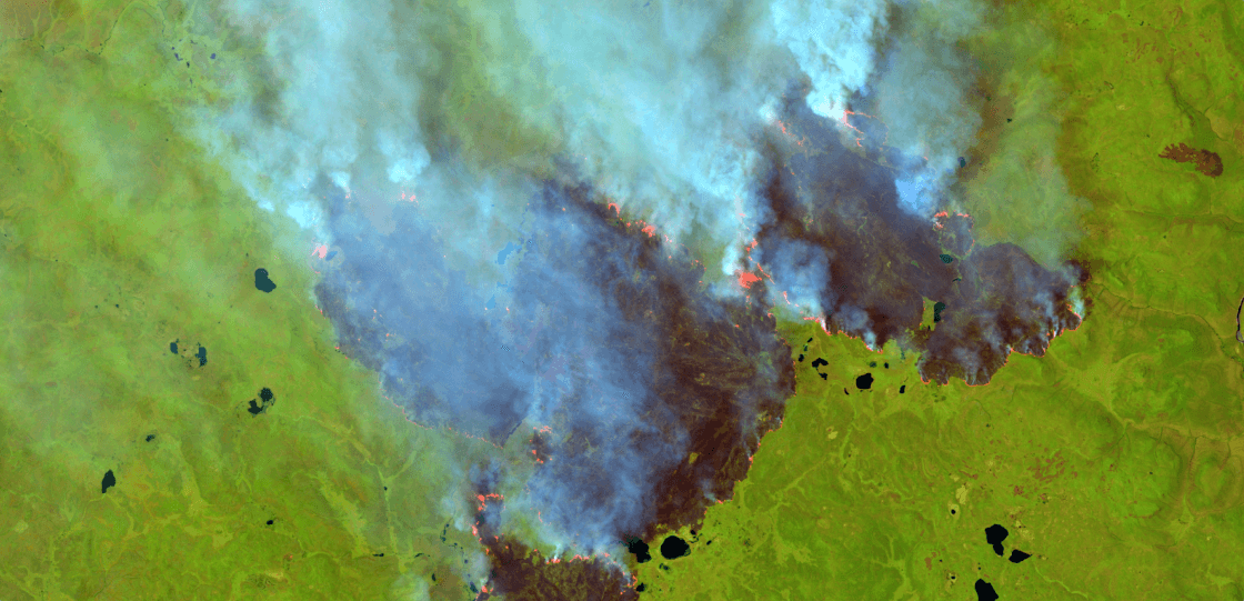
Hotspots visualization and analysis service
Thermal anomalies detection based on meteorological satellite images. Availability on the map < 30 minutes after the end of image capture. 24/7 Data Acquisition. API for software integration.
24/7 Monitoring
Responsiveness
Integration capability
Service for search and ordering of archival EO data from high-resolution satellites
Search of remote sensing data for a selected territory of The Republic of Belarus. Filtering Options, Image Ordering.
24/7 operating
Integration capability
Multilingual interface
Meteorological satellite data access service
Meteorological satellite images AQUA ∙ SUOMI NPP ∙ Fengyun series ∙ Metop series ∙ NOAA series. 24/7 Data Acquisition. API for software integration.
24/7 Monitoring
Responsiveness
Integration capability
Hotspots visualization and analysis service
Thermal anomalies detection based on meteorological satellite images. Availability on the map < 30 minutes after the end of image capture. 24/7 Data Acquisition. API for software integration.
24/7 Monitoring
Responsiveness
Integration capability
Inform
Search of remote sensing data for a selected territory of The Republic of Belarus. Filtering Options, Image Ordering.
24/7 operating
Integration capability
Multilingual interface
Meteoeye
Meteorological satellite images AQUA ∙ SUOMI NPP ∙ Fengyun series ∙ Metop series ∙ NOAA series. 24/7 Data Acquisition. API for software integration.
24/7 Monitoring
Responsiveness
Integration capability
Hotspots
Thermal anomalies detection based on meteorological satellite images. Availability on the map < 30 minutes after the end of image capture. 24/7 Data Acquisition. API for software integration.
24/7 Monitoring
Responsiveness
Integration capability
satellite imagery gallery
news of the company and space
"Geoinformation Systems" Unitary Enterprise Representatives participated in the first forum of women in science called as "The Role of Women in Science and Education."
On September 25, the National Academy of Sciences of Belarus hosted the First Forum of Female Scientists, titled as "The Role of Women in Science and Education." This major event, initiated by...The National Unity Day as a Factor of National Pride: Informational Meeting at Geoinformation Systems UE
On September 24, an informational meeting with the staff of Geoinformation Systems UE took place, focusing on the theme "The National Unity Day as a Factor of National Pride."..."Geoinformation Systems" UE donates Computer Equipment to its sponsored kindergarten (No. 313, Minsk)
On September 22, "Geoinformation Systems" UE donated computer equipment, free of charge, to “Minsk No. 313 Kindergarten State Educational Institution” under its patronage. The equipment will be used to enhance the facility's...